Lost on the Road, Found on the Map: The Scottish Merchant Who Showed America Its Own Future
A Businessman Who Went Broke and Got Lucky
John Melish didn't set out to change America. He set out to make money. In the early 1800s, the Scottish textile merchant made several trips to the young United States, convinced there was a fortune to be made selling fabric to a growing nation. He was wrong about the fortune. He was spectacularly right about the nation.
His business ventures stalled, tangled in the economic chaos that plagued transatlantic trade during the Napoleonic Wars. By the time Melish settled permanently in Philadelphia around 1811, he had lost most of what he'd hoped to gain. What he had instead was something rarer than profit: time, curiosity, and an outsider's eye.
He started writing about America. Traveling extensively through the eastern states and into the frontier, he published accounts of what he saw — the roads, the people, the strange democratic energy of a country still figuring itself out. Those travels sharpened his instincts for geography. And geography, it turned out, was where his real talent lived.
The Map Nobody Else Thought to Draw
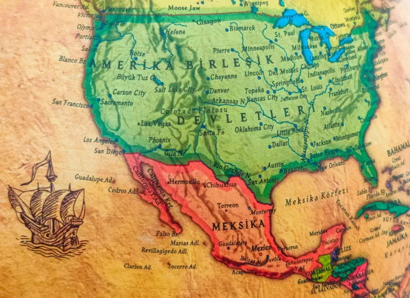
In 1816, Melish published something that had never existed before: a map of the United States that showed the country stretching all the way to the Pacific Ocean.
Now, here's the thing — in 1816, the United States did not actually stretch to the Pacific Ocean. The Louisiana Purchase had pushed American claims westward, and the Lewis and Clark expedition had charted a path to the coast, but vast stretches of the continent were Spanish, disputed, or simply unmapped. Melish knew this. He drew the map anyway.
What he understood — and what made him genuinely revolutionary — was that maps aren't just records of what exists. They're arguments about what could exist. By drawing the country coast to coast, Melish wasn't lying. He was imagining. And in doing so, he handed American politicians, settlers, and dreamers a picture of a destiny that suddenly seemed not just possible, but inevitable.
President James Madison kept a copy. Thomas Jefferson praised it in writing, calling it the most accurate and complete map of the United States he had seen. When American diplomats negotiated treaties in the decades that followed, Melish's map was on the table. It wasn't a document of the present. It was a blueprint for the future.
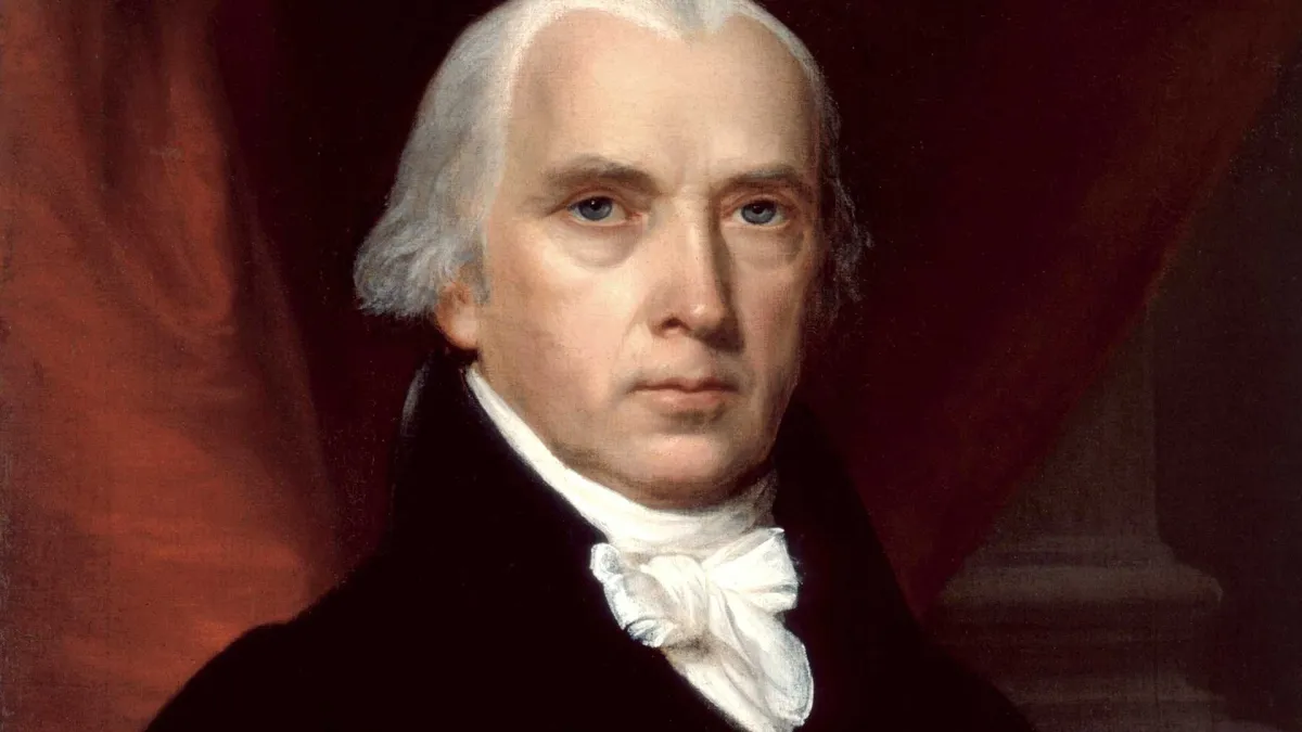 Photo: James Madison, via res.cloudinary.com
Why an Outsider Could See What Insiders Missed
There's something worth sitting with here. The man who first showed Americans what their country could become wasn't American. He wasn't a trained cartographer. He wasn't a military surveyor or a government official with access to classified expedition notes. He was a failed cloth merchant from Glasgow who had taken a wrong turn in his career and ended up with nothing but time and a restless mind.
That outsider status almost certainly helped him. American mapmakers of the era were often constrained by what they knew for certain — reluctant to speculate, trained to document rather than project. Melish didn't carry that professional caution. He had a merchant's instinct for opportunity and a traveler's appetite for the horizon. When he looked at the fragmentary geographical data available to him, he didn't see gaps. He saw a picture waiting to be completed.
His commercial failure freed him from a different kind of map — the one that tells you to stay in your lane, stick to what you know, and leave the big thinking to the experts. Stripped of his original plan, Melish made a new one. It just happened to reshape a continent.
Philadelphia's Unlikely Map Shop
After the success of his 1816 map, Melish established himself as one of Philadelphia's most important publishers of geographical material. His shop became a hub for anyone trying to understand the rapidly expanding American interior. He produced maps of individual states, atlases, and geographical descriptions that gave ordinary Americans a way to visualize a country that was changing faster than most people could process.
This was no small thing in an era before photographs, before mass-circulation newspapers with illustrations, before anyone could simply pull up a satellite image on a phone. A map was how you understood where you were in the world — and where the world might take you. Melish made those maps accessible, affordable, and ambitious in a way that matched the mood of a young republic hungry for its own mythology.
He also had a gift for self-promotion that would feel entirely at home in the modern age. He understood that a map wasn't just a product; it was a story. And he knew how to tell it.
The Legacy of a Wrong Turn
Melish died in 1822, just six years after his most famous work appeared. He didn't live to see the country fill in the outlines he had sketched. He didn't see Oregon, or California, or the transcontinental railroad, or any of the machinery that would eventually make his speculative coastline a political reality.
But the map endured. Historians of American expansion return to it again and again as evidence of something important: that the idea of a coast-to-coast United States existed in the American imagination before it existed on the ground. Manifest Destiny, that complicated and contested doctrine, needed a visual language. John Melish gave it one.
There's a certain irony in the fact that a man who came to America to profit from its commerce ended up profiting from its dreams instead. He never found the textile fortune he was looking for. What he found was something harder to manufacture and longer-lasting than cloth: a way of seeing that helped a nation picture its own potential.
Not bad for a guy who got lost along the way.