She Drew the Lines They Tried to Erase: The Mapmaker Who Gave Indigenous America Its Name Back
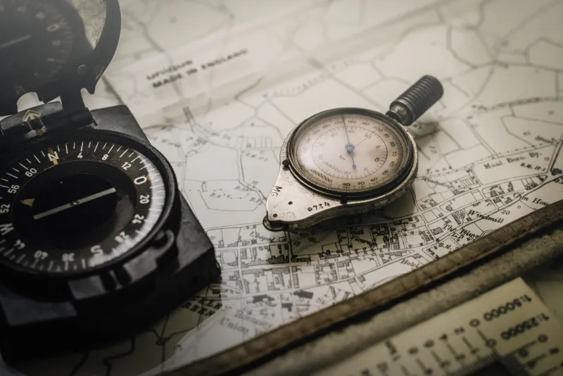
A map is never just a map. It's an argument about what exists, what matters, and who gets to say so. Every line drawn is also a line withheld. Every name printed is a choice about whose language counts.
For most of the twentieth century, the official cartographic record of the American West made a consistent set of choices — and Indigenous communities were not the ones making them. Rivers carried the names of surveyors who had passed through once. Mountain ranges bore the labels of explorers who had never asked what the people who lived there called them. Territorial boundaries that Indigenous nations had understood and observed for generations were either absent from federal maps entirely or drawn in ways that bore little relationship to actual history.
Eleanor Marsh Voss spent roughly thirty years trying to correct that. She did it largely alone, largely without funding, and almost entirely without credit.
A Cartographer Who Came Up Through the Cracks
Voss was born in 1918 in Tucson, Arizona, the daughter of a surveyor who took her into the field with him as a child. She grew up reading topographical maps the way other kids read comics — instinctively, hungrily, with an eye for what they were trying to say and what they were leaving out.
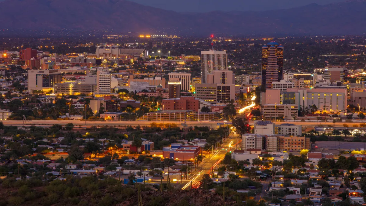 Photo: Tucson, Arizona, via static01.nyt.com
She studied geography and cartography at the University of Arizona in the late 1930s, one of very few women in her program, and graduated into a job market that was not particularly interested in hiring female cartographers for anything beyond clerical drafting work. She spent her early career doing exactly that — drafting other people's maps, cleaning up other people's errors, making other people's arguments legible.
 Photo: University of Arizona, via cdn.stateuniversity.com
What she was actually doing, during those years, was learning. Learning what the federal mapping apparatus valued. Learning what it consistently got wrong. And learning, slowly and with growing conviction, that the errors were not always innocent.
The Silences in the Official Record
The U.S. government's mapping of Indigenous territories had been, from the beginning, a complicated enterprise. The General Land Office surveys of the nineteenth century were designed primarily to facilitate land transfer — to identify what could be sold, settled, or seized. Indigenous place names, territorial understandings, and geographic knowledge were occasionally noted by individual surveyors, but were systematically excluded from official records.
By the mid-twentieth century, when Voss began her independent work, the accumulated effect of those exclusions was staggering. Communities that had named every creek, canyon, and ridgeline in their territories for thousands of years saw those names absent from every official document. Boundaries that had been agreed upon between tribes, or between tribes and early federal negotiators, existed in oral tradition and in treaty language but not on any map that a federal agency would recognize.
This wasn't just a historical injustice. It was an active, ongoing problem. Without cartographic documentation, territorial claims became nearly impossible to defend in legal proceedings. What couldn't be shown on a map was, for practical purposes, as if it had never existed.
Thirty Years on the Road
Voss began her independent mapping project in the early 1950s, initially as a side effort alongside her regular drafting work. She started in the Southwest, in communities she had some existing connection to through her father's survey work, and she approached her project with a methodology that was, for its time, genuinely unusual.
She didn't arrive with a map and ask people to correct it. She arrived without one. She sat with community members — elders, primarily, but also younger people who were the custodians of geographic knowledge — and asked them to describe their territories in their own terms, in their own languages, from their own starting points. She recorded place names in Indigenous languages before translating them. She documented the stories attached to landmarks, because those stories were often the evidence of long-term occupation that legal cases would later need.
The process was slow. Building trust in communities that had good reason to be skeptical of outsiders with notebooks took time — sometimes years of return visits before she was shown the full scope of what people knew. She funded most of her travel herself, supplemented occasionally by small grants from organizations that were themselves operating on the margins of mainstream academia.
She traveled to communities across Arizona, New Mexico, Utah, Nevada, and California. By the time her work was most fully developed, in the late 1970s, she had produced a series of detailed, community-verified maps covering dozens of distinct territorial areas — maps that included Indigenous place names, seasonal use boundaries, sacred site locations, and the kinds of nuanced geographic distinctions that official cartography had never bothered to capture.
Maps That Went to Court
The legal utility of Voss's work became apparent almost by accident. In the early 1970s, a land rights case involving a tribal community in the Southwest required documentary evidence of historical territorial use. An attorney working the case was pointed toward Voss's maps by a community elder. What the attorney found was extraordinary: a detailed, sourced, community-verified cartographic record that supported the tribe's claims with a specificity that no government document could match or refute.
The maps were admitted as evidence. The case was decided, in significant part, on the basis of what Voss had documented.
Over the following decade, variations of this scenario played out in multiple proceedings. Her maps appeared in land rights cases, water rights disputes, and environmental review processes. Attorneys who used them described them as unlike anything else available — not because they were technically superior to government maps, but because they were accurate in a way that government maps had never tried to be.
Voss herself was rarely called to testify. Her name rarely appeared in the coverage of the cases her work helped decide. The maps were treated as documents rather than as the product of a specific person's three-decade commitment, which is perhaps the most cartographic fate imaginable: to be useful and invisible at the same time.
The Name That Didn't Make the History Books
Voss died in 1994. She had never held a tenured academic position. She had never received a major grant from a federal agency. She had never been profiled in a major publication. A small obituary ran in a Tucson newspaper. A slightly longer tribute appeared in a geography journal that had, in her later years, published several of her papers.
The land rights victories her maps helped secure are documented. The communities whose territorial claims were upheld remember the work, even when the institutional record doesn't. A handful of legal scholars who specialize in Indigenous land rights know her name.
Everyone else is still catching up.
What a Map Can Owe
There's a version of Eleanor Voss's story that frames it as a tragedy — the overlooked expert, the unacknowledged contribution, the name missing from the footnotes. That version isn't wrong.
But there's another version, and it might be the one she would have preferred. In that version, the maps are the thing. The maps exist. The places they name are named. The lines they draw are drawn. The communities whose knowledge she spent thirty years recording now have a document — many documents — that say: we were here, we knew this land, these are its names, these are its boundaries.
A map is never just a map. Sometimes it's the only proof that something was real.
Eleanor Voss made sure the proof existed. The rest, she seemed to believe, could take care of itself.